Real Estate Aerials
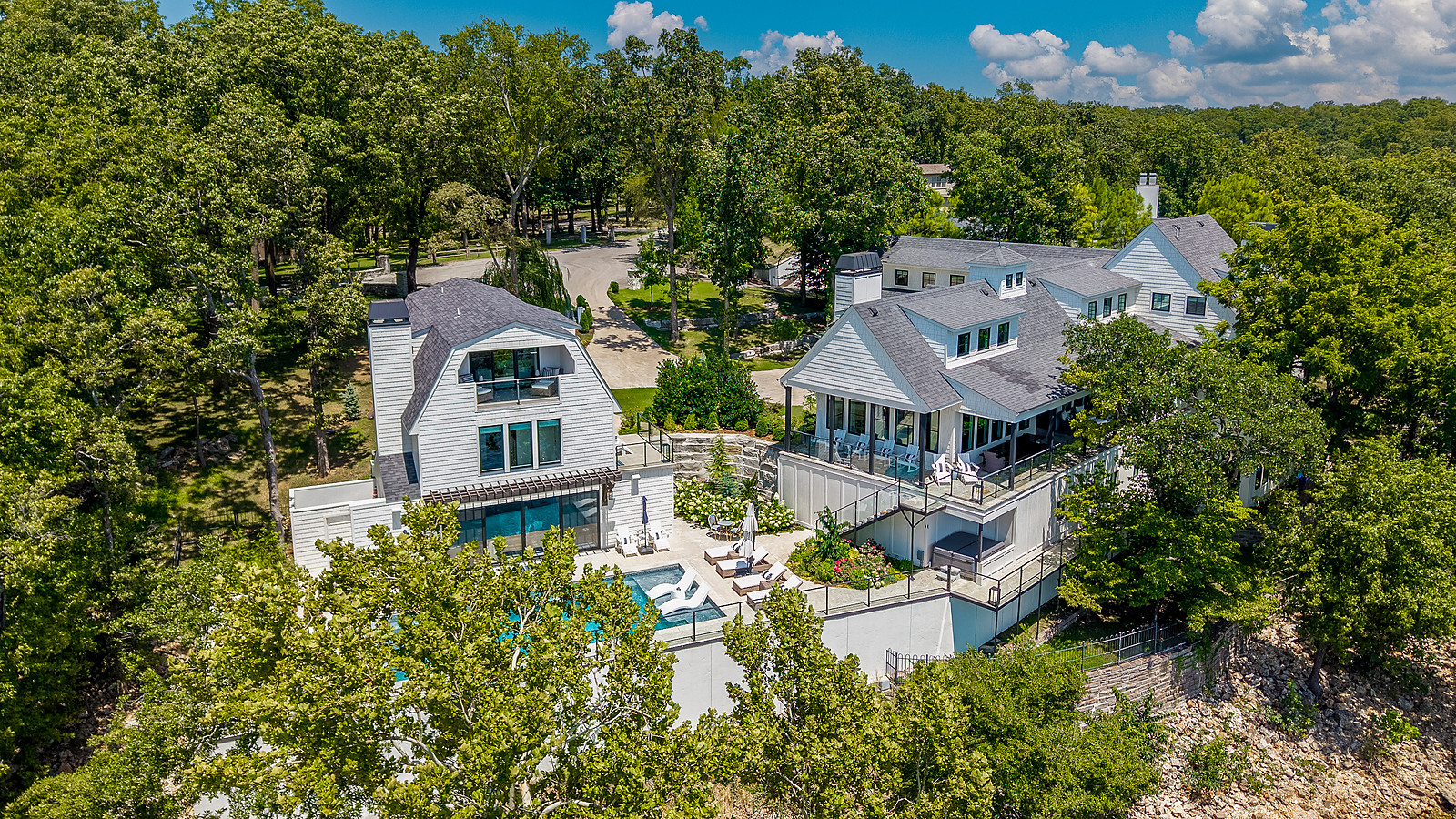
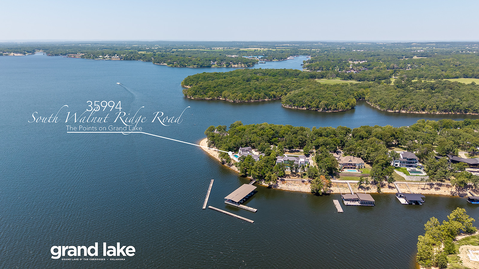
Wide angle aerials for situational awareness, and subject property aerials that highlight what elevation reveals.
From other listings
Selected work from properties across Grand Lake and the surrounding three-state area.


On Grand Lake, buyers are purchasing water access as much as square footage. An aerial photograph answers the questions a ground shot cannot: how deep is the cove, where does the dock sit, how private is the lot, and which way does the sun set over the water.
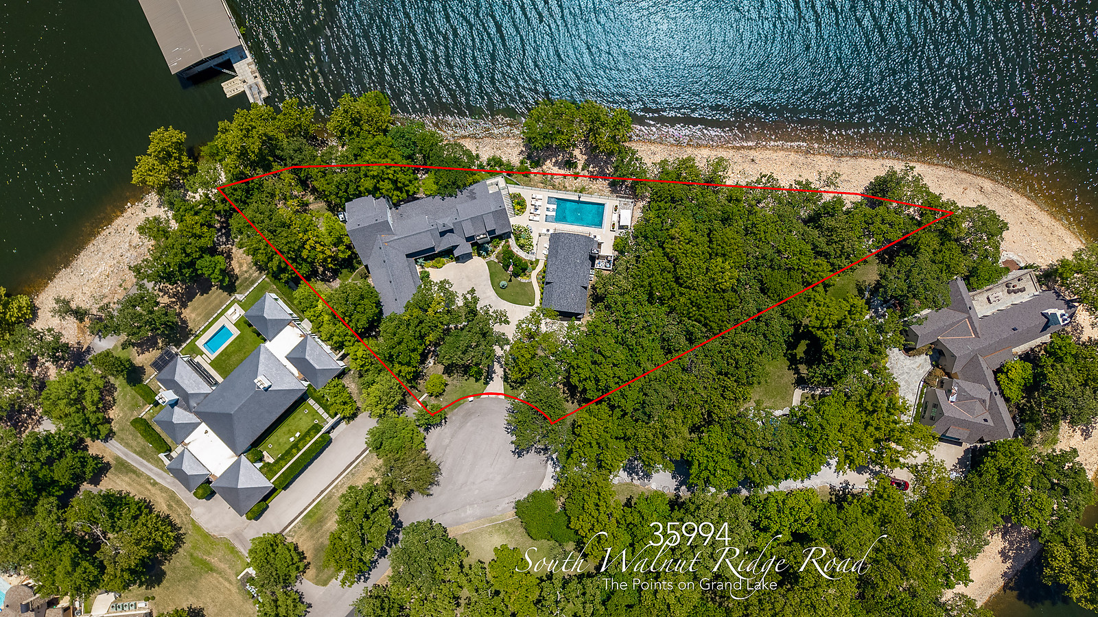
A typical shoot delivers three to six wide angle aerials for situational awareness and local landmarks, plus two to six subject property aerials highlighting features and architecture that only read from above. Aerials can also carry lot line overlays and location callouts, which settle boundary questions before a buyer drives out.
Every flight is planned around light and weather and flown under an FAA Part 107 commercial certificate.